

Rough Meadows Wildlife Sanctuary
Trails at Rough Meadows
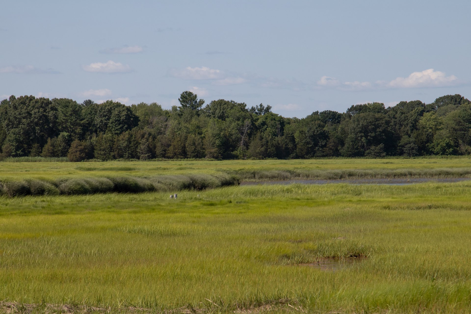
At Rough Meadows, you can explore 1.6 miles of well-marked trails through coastal woodlands to several viewpoints that offer panoramic views of the Great Marsh.
You will find granite benches to sit and have a snack at the end of Professor Chandler's Long Walk and on the Kestrel Trail. Sawyer's Island is a 1-mile hike from the parking area—it offers spectacular vistas and a view of an active Osprey nesting platform.
Trail Map
Trail Descriptions
Professor Chandler’s Long Walk
Distance: 0.65 miles
Leads to the eastern part of the sanctuary where there is a spectacular view of the salt marsh. It is named in honor of Professor Alfred D. Chandler, Jr., whose conservation vision protected most of this land. (Please Note: The salt marsh portion of this trail floods at high tide; plan your visit accordingly.)
Kestrel Trail
Distance: 0.19 miles
A short trail that passes through a field along the edge of a woodland and offers a view into the salt marsh.
Sassafras Trail
Distance: 0.22 miles
Part of a loop with Professor Chandler’s Long Walk, this trail passes through a mixed forest where sassafras trees are common.
Hickory Trail
Distance: 0.18 miles
A loop off Professor Chandler’s Long Walk that meanders through an oak and hickory forest along the edge of the salt marsh.
Appy’s Way
Distance: 0.22 miles (0.34 miles with extension)
Named in honor of Appy Chandler—who helped make Professor Chandler’s vision a reality—this trail leads to a small hill with a view of the salt marsh, a tidal creek, and salt pannes. Take the extension to the viewpoint for a longer walk.