Nashoba Brook Wildlife Sanctuary
Trails at Nashoba Brook
Nashoba Brook Wildlife Sanctuary offers 3.6 miles of trails to explore! Additionally, trail connections to the town of Westford's Richard Emmet Conservation Land enable you to extend the length of your hike.
The sanctuary's trail system expanded to include Emmet Woods (across Route 225) in 2017 thanks to the generosity of the Emmet family.
Trail Map
Trails at Nashoba Brook
Woodland Loop Trail
Length: 0.5 miles
Details: Trail starts at the parking lot. Take the short loop trail through a white pine-oak forest, wetland habitat, past Vine Brook, a bog, and also a pond.
Trails at Emmet Woods
Emmet Woods is located on the opposite side of Route 225. Please note there is no parking available at Emmet Woods—you must park at the sanctuary lot and walk for 215 yards on the side of the road to get to the Access Trail.
Access Trail
Length: 0.17 miles
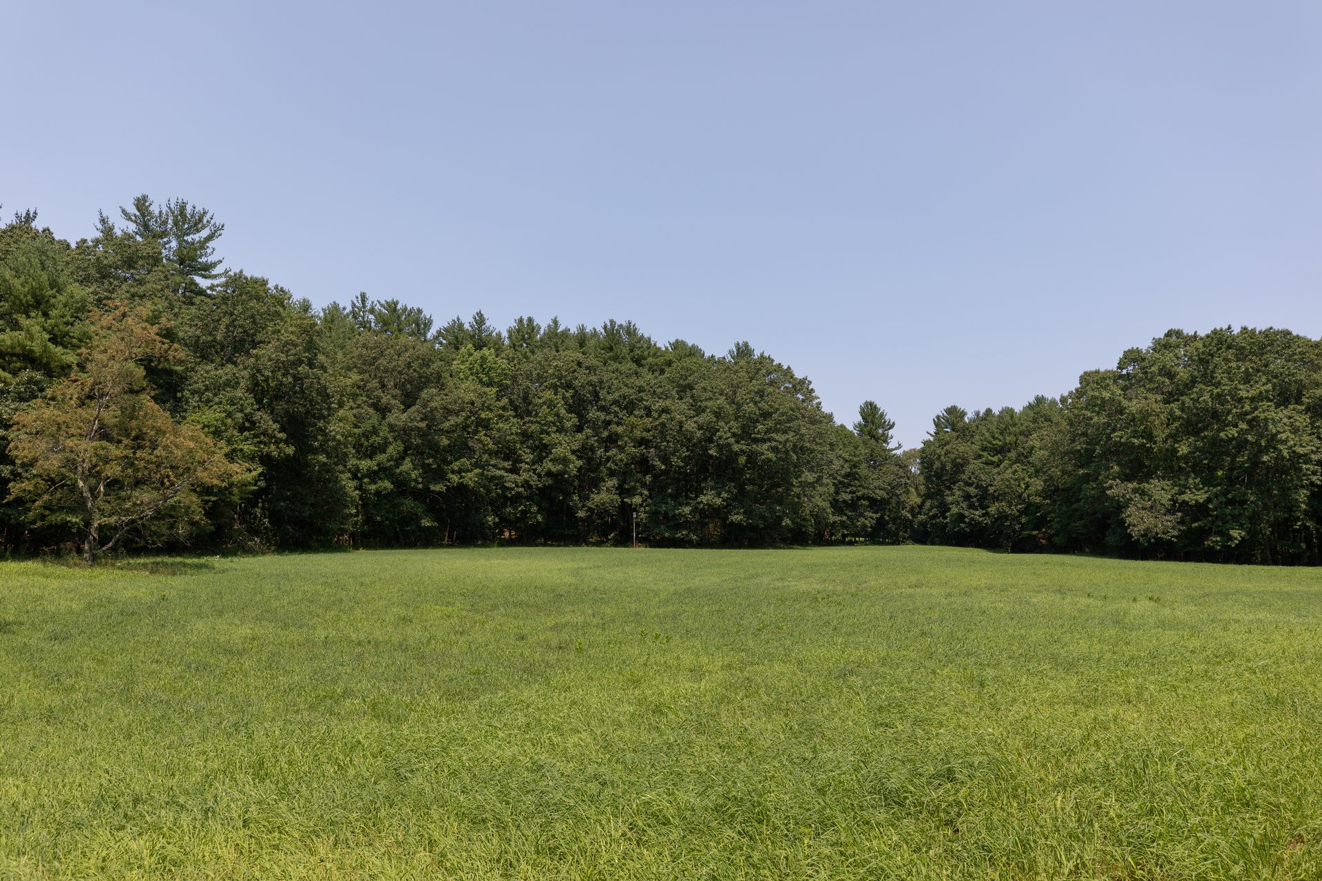
Details: This trail provides access to the Emmet Woods trail network. Walk alongside the stone wall until you get to an opening that leads into a hay field—this is the entrance to Emmet Woods. If you look back towards Route 225, there will be a white house directly across the field from you're standing.
Alan Emmet Loop Trail
Length: 1.2 miles
Details: This loop encircles the trail network and provides access to the Folly and Hermit Thrush Trails and enables you to determine different trail routes. It passes Cave Rock (an interesting glacial boulder) and travels mostly through a pleasant oak hardwood forest interspersed by stone walls.
Folly Trail
Length: 0.27 miles
Details: This north-south trail bisects the center of the trail network. Look for the Folly, an ornamental structure used in landscape architecture that often represents ancient ruins.
Hermit Thrush Trail
Length: 0.28 miles
Details: An east-west trail that also bisects the trail network. A bench is located at its intersection with the Folly Trail. Portions of this trail travel adjacent to a stone wall.


