Trails at Allens Pond
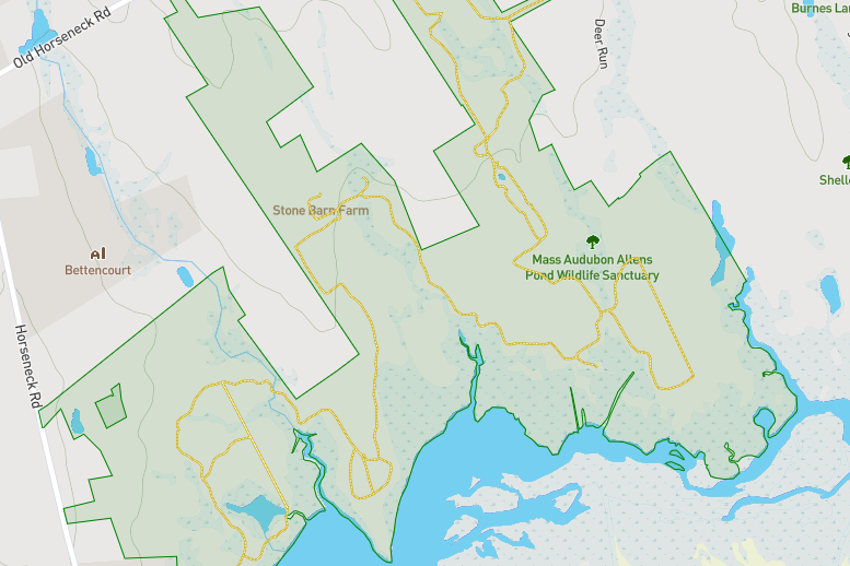
Explore 9 miles of trails through various habitats at Allens Pond. Choose from 3 trail systems, each with its own distinct natural communities!

Digital Trail Map
Use your smartphone to navigate the sanctuary. View the map

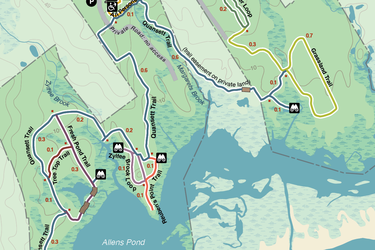
Download the Trail Map
Trail Descriptions
Quansett Trail System
This system offers visitors the opportunity to observe, interact with, and learn about the great diversity of habitats in the sanctuary. Visitors have many options to choose from including two western loops: one around a fresh pond, the other with a giant boulder to climb for treetop views. Two smaller loops provide east and west overlooks of the pond.
Allens Neck Trail System
Located off Allens Neck Road in Dartmouth, MA, this trail system offers 1.5 miles of trails along the Woodland and Boulder Loops. Visitors can wander through rich wetlands, across old pastureland and among giant boulders or pass vernal pools throbbing with fairy shrimp and tadpoles.
Beach Loop Trail
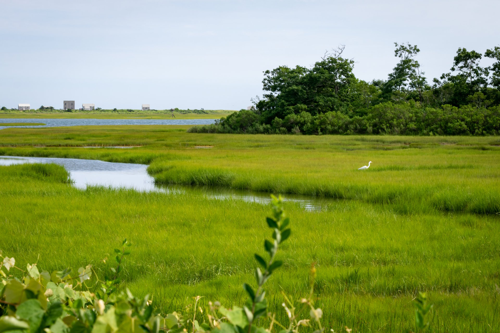
Experience dramatic views of Allens Pond and Buzzards Bay via the Beach Loop Trail. Scan the saltmarsh for saltmarsh sparrows, herons and camouflaged shorebirds. Red cedar, bayberry, beach plum, and shadbush are native plants that thrive in this sandy coastal habitat. The loop follows the rocky shore at Buzzards Bay and returns via the sheltered salt marsh.


