Important Bird Area: Nashua River Watershed
Site Summary
Nominated By
Ron Lockwood, Tim Prior
Size
N/A
Towns and Counties
Ayer, Bolton, Harvard, Lancaster, Shirley; Middlesex, Worcester
Ownership
MassWildlife, US Fish and Wildlife Service, federal military, municipal, private
Major Habitats
50% northern hardwood forest, oak-conifer forest, 5% pitch pine-scrub oak, 10% cultural grassland, cultural forest, 10% emergent freshwater wetland, powerline, 10% shrub-scrub wetland, lake/pond, river/stream, migratory stopover site
Land Use
nature & wildlife conservation/land trust, hunting/fishing, quarry/gravel pit, utility/right-of-way, research, military, undeveloped
Serious Threats
non-native invasive plants, ecological succession
Minor Threats
extraction industry, disturbance
IBA Criteria
- Category 1: Sites important for long-term research and/or monitoring projects that contribute substantially to ornithology, bird conservation, and/or education.
- Category 2: Sites containing assemblages of species characteristic of a representative, rare, threatened, or unique habitat within the state or region.
- Category 4: Land Birds: The site is an important migratory stopover or seasonal concentration site for migratory land birds (e.g., warblers). Sites may also qualify on the basis of supporting exceptionally high densities of breeding species as shown from point counts or other surveys or if they represent "migrant traps" relative to surrounding areas. Strong consideration will be given to areas with consistently high overall species diversity..
- Category 5: Sites regularly holding significant numbers of species of high conservation priority in Massachusetts.
Site Description
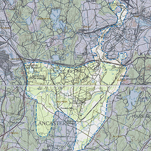
This IBA is composed of the Oxbow National Wildlife Refuge, Devens Reserve Forces Training Area (Devens RFTA), Bolton Flats Wildlife Management Area, the Nashua Greenway, Lancaster State Forest, and private lands along the Nashua River that are contiguous with the publicly owned areas. Much of this land was part of the former Fort Devens. A large portion of the former Fort Devens was transferred to the US Fish and Wildlife Service and is now the Oxbow National Wildlife Refuge. The area between the wildlife refuge, Devens RFTA, and Bolton Flats is known as the Intervale Region and is primarily privately owned, except for a small parcel of Lancaster conservation land. The public portion is composed of Lancaster conservation land called the Nashua Greenway and the Lancaster State Forest. The remaining land is privately held. The diverse habitats are reflected in a rich avifauna. The habitats include a large grassland, extensive wetlands, forested uplands, and a riverine corridor. The forest communities are Appalachian oak-pine forest, hemlock-northern hardwood forest, red maple hardwood swamps, and pitch pine-scrub oak barrens. The wetland communities present are equally diverse and include New England floodplain forest, dwarf shrub bogs, a black spruce-tamarack bog, oxbow ponds, and sandy bottom kettlehole ponds. The grassland is particularly important as the site hosting the state's third largest breeding population of Grasshopper Sparrows as well as supporting Vesper Sparrows, Upland Sandpipers, and Bobolinks.
Current Conservation Status
Most of the land is either protected or federally owned, but significant and biologically rich areas are still privately owned, particularly in Lancaster. Invasive plants including Spotted Knapweed and Autumn Olive encroaching on the Turner Drop Zone at Devens Reserve Forces Training Area (RFTA), where the greatest concentration of grassland species occur. These invasives have been controlled through mowing and burning, but the knapweed has continued to spread and threaten the habitat. Purple Loosestrife is also a problem in the Oxbow National Wildlife Refuge where it is being controlled biologically. Japanese Knotweed is also present in some areas of this IBA. Succession is a potential issue for the grassland on the Turner Drop Zone. To date the Army has kept the drop zone clear of successional vegetation, and this is expected to continue. The Army uses the drop zone for some training. This training has been limited in the past and has not significantly affected the grassland bird species. This does remain a conservation concern. The Army actively trains on the remaining portions of Devens RFTA, which has kept much of the area in successional habitats, benefiting some species such as Whip-poor-wills.
Ornithological Significance
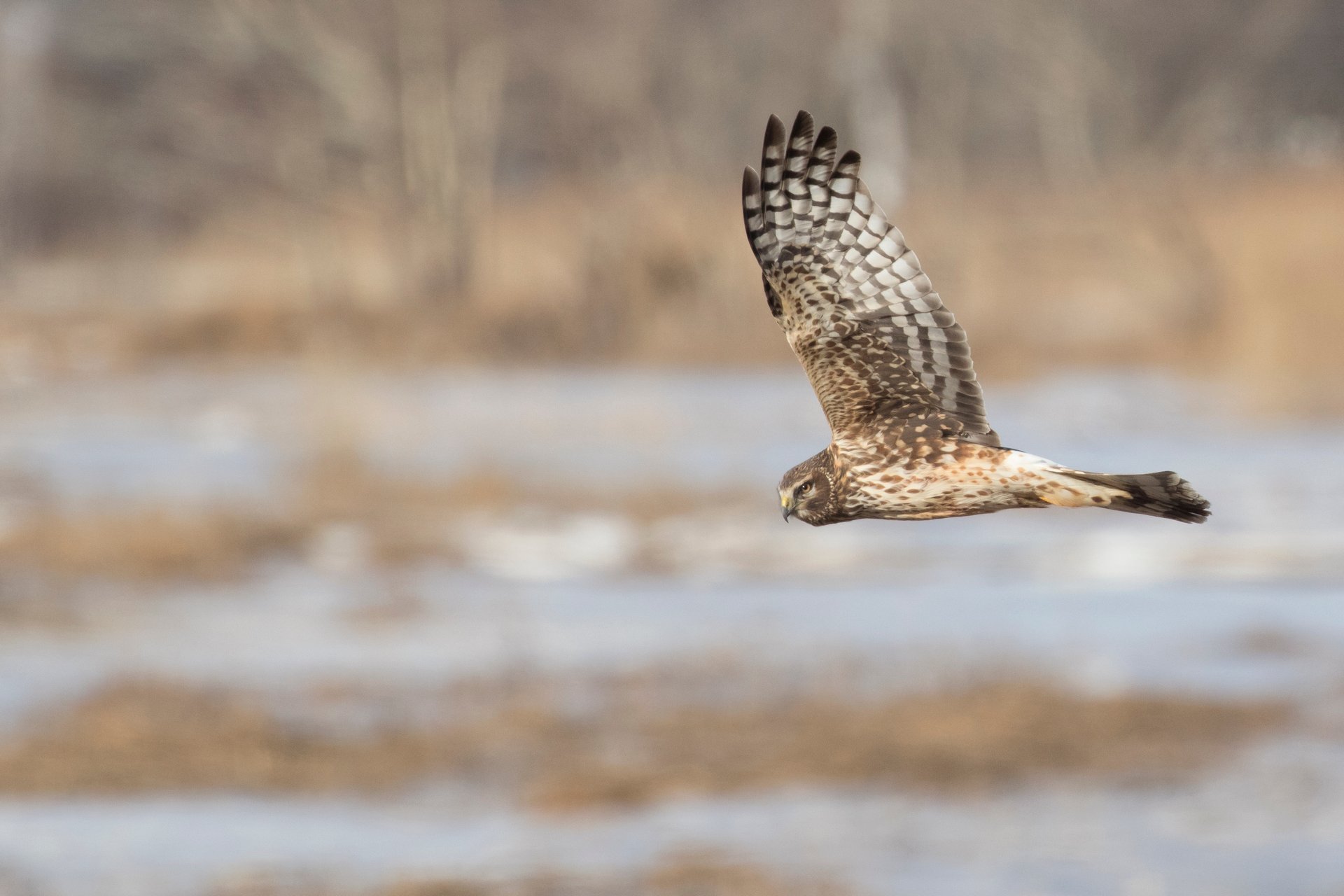
The IBA functions as a satellite site for dispersal from the two large populations of Grasshopper Sparrows present in the state. The third largest population in the state, and a significant number of Vesper Sparrows. Upland Sandpipers (1 to2 pairs) and Bobolinks (40 pairs). Whip-poor-wills are abundant, with spring counts routinely in the 60s and exceptional counts as high as 75 individuals. This is one of the largest Whip-poor-will populations in the state and the largest in central Massachusetts. Rare, unique, or representative habitats in this IBA include pitch pine-scrub oak barrens, grasslands including a 200,000 acre area. New England floodplain forest, dwarf shrub bogs, and a black spruce-tamarack bog. Hawks have been banded on Devens RFTA for many years, and there is a continuing metapopulation study of the Grasshopper Sparrow on the Turner Drop Zone at Devens RFTA. Additional research on the impact of habitat restoration on a vulnerable avian population is being conducted. The US Fish and Wildlife Service monitors upland and marsh bird populations through systematic point counts during the breeding season.
Information is included in a list of Partners in Flight Priority Bird Species (see nomination packet for list), compiled from formal breeding bird and marsh bird surveys (USFWS); informal field census work performed by R. Lockwood, B. Anderson, M. Lynch, and S. Carroll; and sight records reported in the Bird Observer database (1994 to present). Sightings refer to an individual day of fieldwork and do not represent the actual numbers of individuals observed. Annotation reflects the impressions of R. Lockwood. Breeders have been confirmed by R. Lockwood or reported in Birds of Massachusetts, while probable breeders are unconfirmed.
Data Sources
R. Veit and W. Petersen. 1993. Birds of Massachusetts. Massachusetts Audubon Society, Lincoln, MA.
Hunt, D.M. et al. 1995. The Vascular Plants of Fort Devens, Massachusetts. Rhodora 97:208-224


