

How Technology Helps Shape Conservation Strategy
March 19, 2025
Historically, land conservation efforts focused on protecting habitats for specific species, but as data evolves and climate change becomes a more pressing threat, we are increasingly focusing not only on ecosystems that serve a variety of plants and animals but also on land that will be most resilient to future changes.
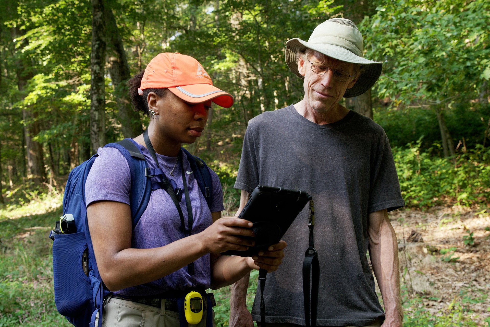
Thanks to continuously evolving technology, land conservationists can now take a more holistic approach and look at the land from all angles, such as whether it's home to endangered plants or animals or abuts other tracts of protected land. Geospatial science and technology guide our experts on where, why, and how to push to protect vitally important landscapes across Massachusetts.
Technology Helps Visualize Land
GIS (geographic information systems), a mapping and analytical tool, informs our conservation work from start to finish. Typically, GIS applications pull together sources including historical imagery and maps, private and governmental data, and Mass Audubon field surveys to illustrate the attributes of landscapes across the state. Our team references this mapping before the first site visit, during site surveys, while evaluating the property’s conservation priorities, and in tracking the impact of conservation efforts over time.
GIS is an umbrella for many other tools that translate specific datasets into maps and visuals. Among these are BioMap and MassMapper, two of our most frequently used GIS applications.
BioMap, a habitat protection planning tool built by MassWildlife and NGO partners, designates Core Habitat and Critical Natural Landscape areas across Massachusetts. Core Habitats are areas vital to long-term support of rare species, natural communities, and resilient ecosystems, while Critical Natural Landscapes are large landscapes that buffer Core Habitats and coastal areas, enhancing connectivity and resilience.
MassMapper, the state’s public access GIS viewer, allows users to visualize a wide array of data layers, including demographics, infrastructure, and physical characteristics such as wetlands, soils, and watersheds, over a variety of basemaps, from aerial imagery to historic topography.
In addition, we look at environmental justice mapping tools, historical data and deeds, Mass Audubon’s breeding bird atlases, and community science platforms such as iNaturalist, eBird, Merlin, and Nest Watch to understand how people, animals, and plants interact with the land.
Technology in Action
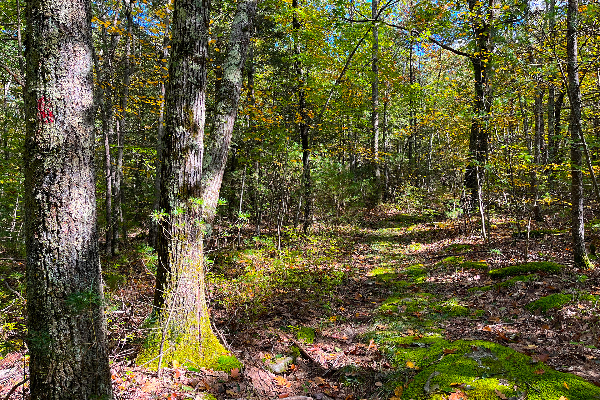
Recently, in Barre, we leveraged this suite of technologies to guide the protection of more than 800 acres of forested land. Maps and visuals created with GIS evaluated BioMap data, watershed boundaries, soils, topography, and conservation context and identified this area as a priority for land conservation.
Mass Audubon and our partners identified a group of parcels in this area that would protect important wildlife habitat, enhance water supply protection for the Quabbin Reservoir, bolster climate resilience, support local farms, and connect thousands of acres of adjacent, protected land.
Now, permanently protected, this land supports wildlife and supports adaptation in the face of climate change.
Guiding the Catalyst Fund
Mass Audubon’s 30x30 Catalyst Fund, an initiative that leverages public and private capital to help reach the Commonwealth’s goal of permanently protecting 30% of Massachusetts by 2030, takes full advantage of these technologies.
To direct Catalyst Fund resources to the projects with the most impact, the conservation science and land protection teams worked together to build a model in GIS that evaluates parcels for their habitat, carbon storage potential, and sequestration potential, using data provided by researchers at Harvard Forest.
This is the first time that we have specifically included carbon as a criterion, allowing us to fine-tune our strategy. Now our land conservationists can tackle projects swiftly and more deliberately than ever, making it easier to attain our ambitious 30x30 goals.
Stay Connected
Don't miss a beat on all the ways you can get outdoors, celebrate nature, and get involved.