Wachusett Meadow Wildlife Sanctuary
Trails at Wachusett Meadow
Explore 12 miles of trails at Wachusett Meadow Wildlife Sanctuary. The paths traverse many interesting landscape features like Brown Hill Summit, Glacial Boulder, ancient trees, and beaver ponds.
The sanctuary's trails connect to Wachusett Mountain and the Midstate Trail systems, offering many options for short or extended hikes. There are benches along many of the trails and several scenic overlooks offering expansive views.

Digital Trail Map
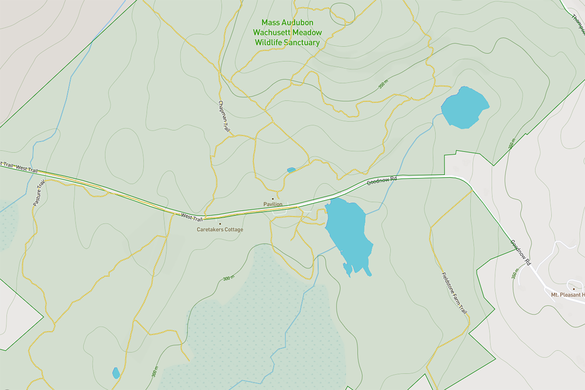
Use your smartphone to navigate the sanctuary. View the map

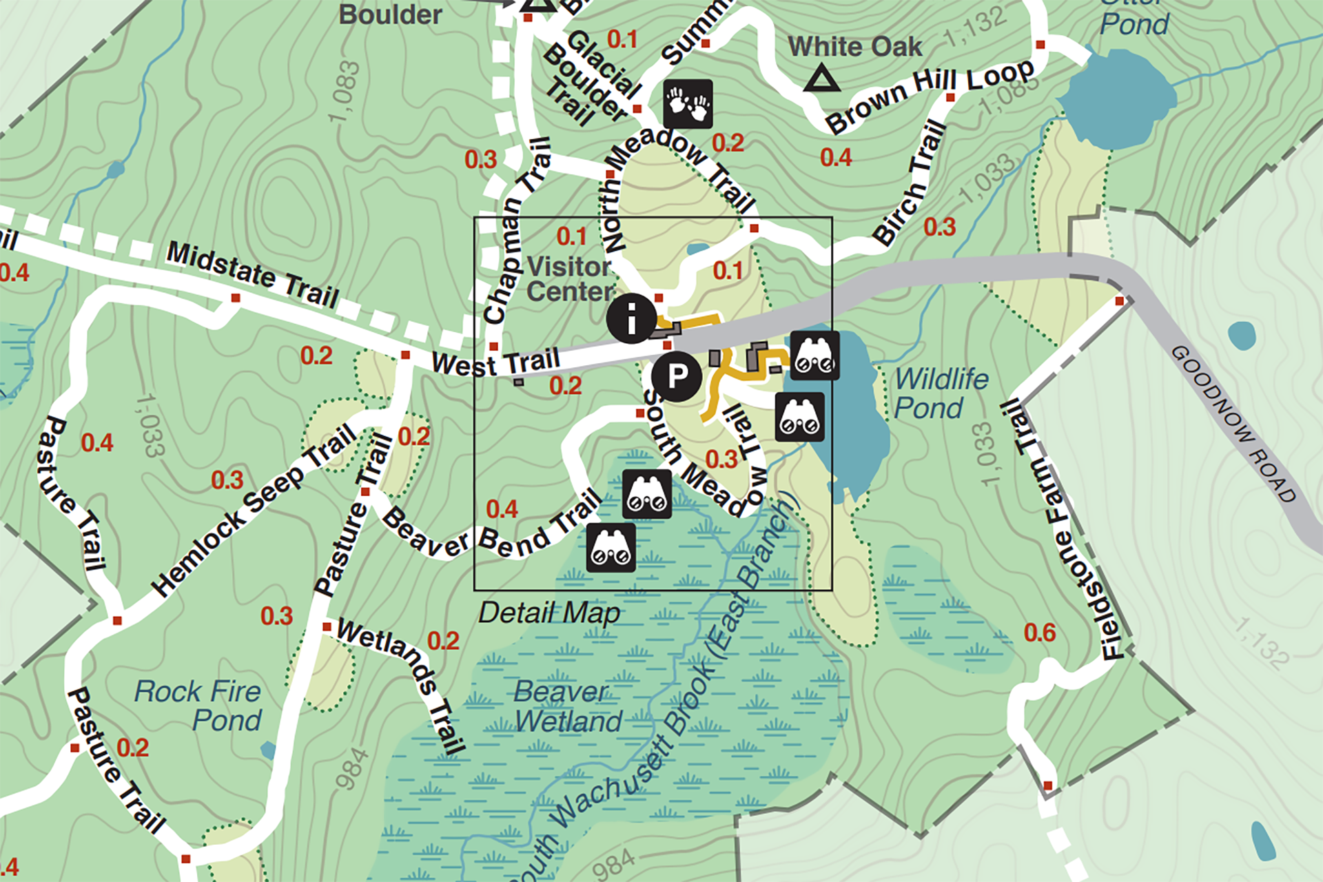
Download the Trail Map
Trail Descriptions
All Persons Trail
Length: .4 miles
Intensity: Expect wide, clear paths with an ADA-compliant slope.
Details: The trail can loosely be thought to be “Y” shaped with the initial section 342 feet in length, and then branching to a 338-foot leg and a 405-foot leg. Regular seating, an audio tour, and interoperative features make this a welcoming trail for all. Find more on accessibility at Wachusett Meadow
Beaver Bend Trail
Length: 1 mile
Intensity: A medium length trail, moderately steep, with uneven footing around frequent rocks and roots. Secluded benches and a platform overlook the 85-acre beaver marsh.
Details: Great habitat diversity supports equally diverse assemblages of organisms, including huge frog populations, spring wildflowers, Ruby-crowned Kinglet, and mushrooms amidst boulder outcrops, stream crossings, and meadows.
Birch Trail
Length: 1/2 mile
Intensity: Short trail, with a steep section and occasional difficult rocky footing, which traverses former sheep pasture and is now forested with clumps of Grey Birch and Red Oak.
Details: Porcupine and Bobcat tracks are frequent in snow; warbler watching is superb in May and September. Shortest route to Otter Pond.
Brook Trail
Length: 1/2 mile
Intensity: Short, steep and moderately uneven trail that connects to the Brook Loop on South Wachusett Brook.
Details: Tall pines and hemlocks line the descent to the banks of the brook, where Cardinal Flower blooms in August. A giant Sugar Maple resides along the pathway.
Brook Loop
Length: 1 mile
Intensity: Medium length, moderately difficult trail that follows South Wachusett Brook and loops through upland forests in warm, south-facing abandoned pastures.
Details: Louisiana waterthrush nest along the brook, and woodlands are home to doll’s eyes, eastern wood-pewee, and dense colonies of clubmosses of several species.
Brown Hill Loop
Length: 1.2 miles
Intensity: Long, steep trail with difficult rocky footing.
Details: A former bridle path, it encircles Brown Hill within a variety of forest habitats including colder shaded pines, groves of Shagbark Hickory and a near champion White Oak over 15 feet in girth and over 250 years old.
Chapman Trail
Length: 1.8 miles
Intensity: Long, moderately sloped trail with occasional steep sections and difficult footing
Details: Mature forests dominate, with hermit thrush, black-and-white warbler, and red-eyed vireo along this secluded path. Spring fed Black Pond, and South Wachusett Brook are pristine waters. The trail continues north off sanctuary 2.5 miles to the Mt. Wachusett summit.
Fern Forest Trail
Length: 0.7 miles
Intensity: Medium length, flat trail with moderate footing.
Details: White pine, black cherry and clumps of Intermediate woodfern abound. Little bluestem grass grows in Fifth Pasture, an old dry field now being reclaimed. Northern goshawks have nested in the past. Blackburnian warblers are frequent in the pines.
Glacial Boulder Trail
Length: 0.3 miles
Intensity: Short moderately steep trail with difficult footing.
Details: The enormous glacial boulder, deposited some 15,000 years ago, was subsequently broken into pieces by weathering and ice. The trail parallels one of the oldest stone walls on the property. Watch for pink lady’s-slippers in May.
Hemlock Seep Trail
Length: 0.4 miles
Intensity: Short trail with difficult footing on stepping stones in a wetland.
Details: A meadow of common milkweed leads to a seep where yellow birch and Eastern Hemlock grow among spring-fed mossy rocks. blue-headed vireo, winter wren and black-throated green warbler are frequent. Great wildflowers including foamflower and white turtlehead.
North Meadow Trail
Length: 0.4 miles
Intensity: Short loop trail, moderately steep, in an upland meadow.
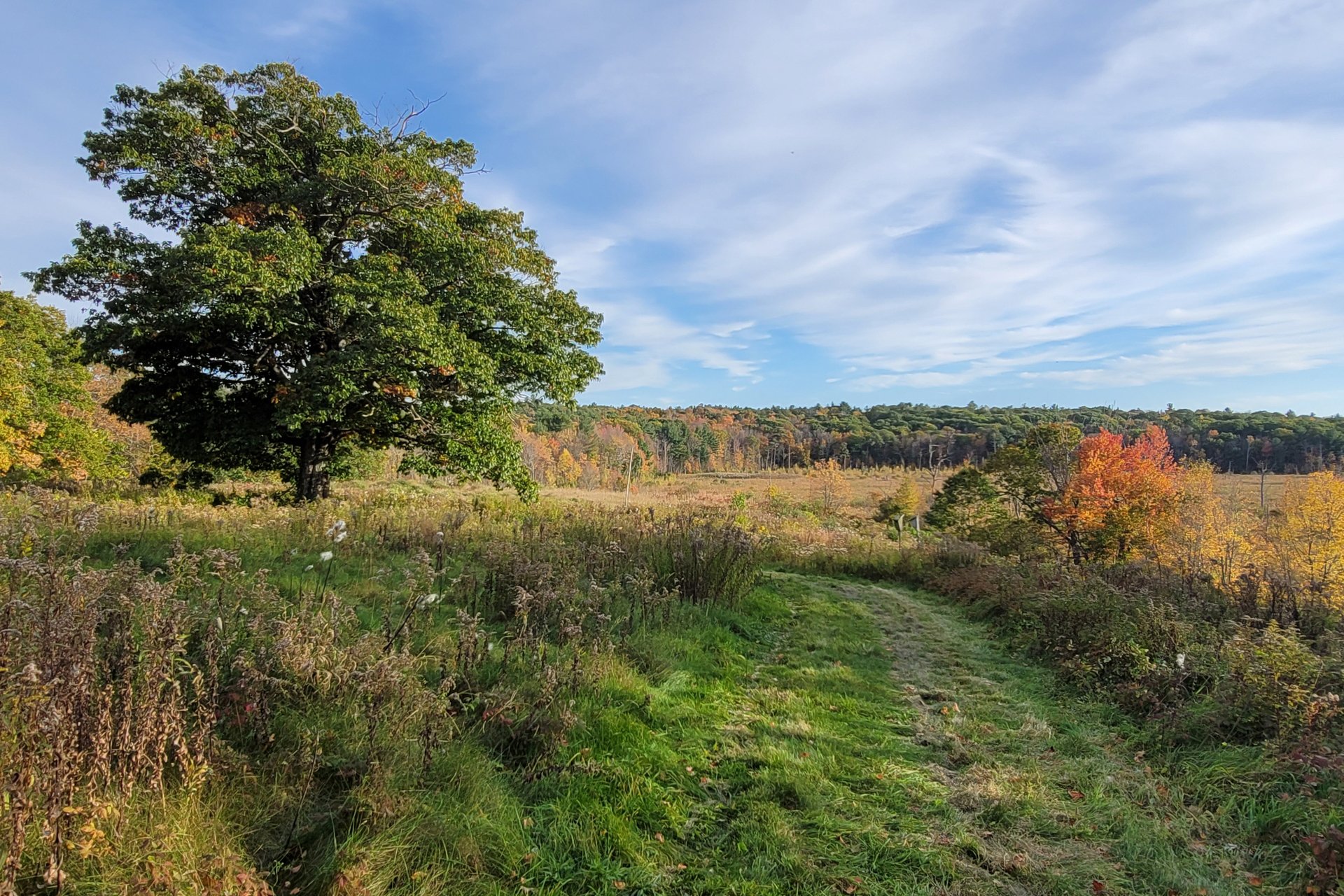
Details: Frequent benches along the mowed path provide for rest and observation, including expansive views, highly colorful in fall. Bobolinks, meadow wildflowers, and butterflies provide nature opportunities at all seasons. The old Farm Pond has huge Bullfrogs.
Otter Pond Trail
Length: 0.2 miles
Intensity: Short and easy link to a bench and overlook on a human-made pond now inhabited by beavers.
Details: Evidence of current and older beaver activity abounds; wet meadow plants are luxurious in the beaver created openings. The pond supports wood ducks, black ducks and mallard.
Pasture Trail
Length: 1.5 miles
Intensity: Long, easy trail, partly an old farm road connecting old fields, and partly a forest path.
Special features: Habitat diversity makes it a naturalists’ first choice. The Rock Fire Pond bench provides great birding; Third Pasture is a butterfly and dragonfly magnet. The American beech grove and eastern hemlock stand are home to pileated woodpecker, and mountain laurel woods support snowshoe hare.
South Meadow Trail
Length: 1/2 mile
Intensity: Short, mostly flat, easy mowed trail.
Details: Beaver wetland overlooks provide opportunities to observe water birds, dragon and damselflies, belted kingfisher, warbling vireo, mink, river otter and painted turtle. The meadow supports Harris’ checkerspot, eastern bluebird, meadow foxtail, orchard grass, wildflowers, and butterflies.
Summit Trails
Length: 0.8 miles
Intensity: Three short, steep and difficult trails that access the summit of 1312 foot Brown Hill.
Details: The west trail is shortest and easiest, traversing open flat ledges with glacial scratches and small colonies of three-toothed cinquefoil. The south trail descends steep stair-like rocky ledges along stone walls in hickory-hornbeam forest and a shrub meadow with bayberry and shining sumac.
West Border Trail
Length: 0.7 miles
Intensity: Medium length and moderately steep trail with some difficult footing in mature forests.
Details: Bordering stone walls were once the sanctuary’s boundary. The trail bridges two headwater streams with cascades in early spring. Round-leaved Violet blooms and White-tailed Deer trails frequently cross the path.
West Trail
Length: 0.6 miles
Intensity: Long, steep and often wet trail that follows a historic section of Goodnow Road, once a stagecoach path to Templeton and still enclosed with high stone walls.
Details: The trail ends at Gates Road, providing a connection to the Town of Princeton’s Four Corners Conservation Area. Moose, coyote, red efts, and raptors live in this wilder area of the sanctuary.
Wetlands Trail
Length: 0.2 miles
Intensity: Short, steep trail.
Details: Takes you to the edge of a beaver-created wetland where dead white pine trees once supported a rookery of great blue herons. Dead trees also supply habitat for hooded merganser, brown creeper and great horned owl. The secluded bench provides excellent opportunities for photography and observation.


