

Salt Marsh Science Project
Since 1996, students in grades 5 through 12 on the North Shore have been working with Mass Audubon scientists to learn about salt marshes and common reed (Phragmites australis), an invasive plant that grows in salt marshes.
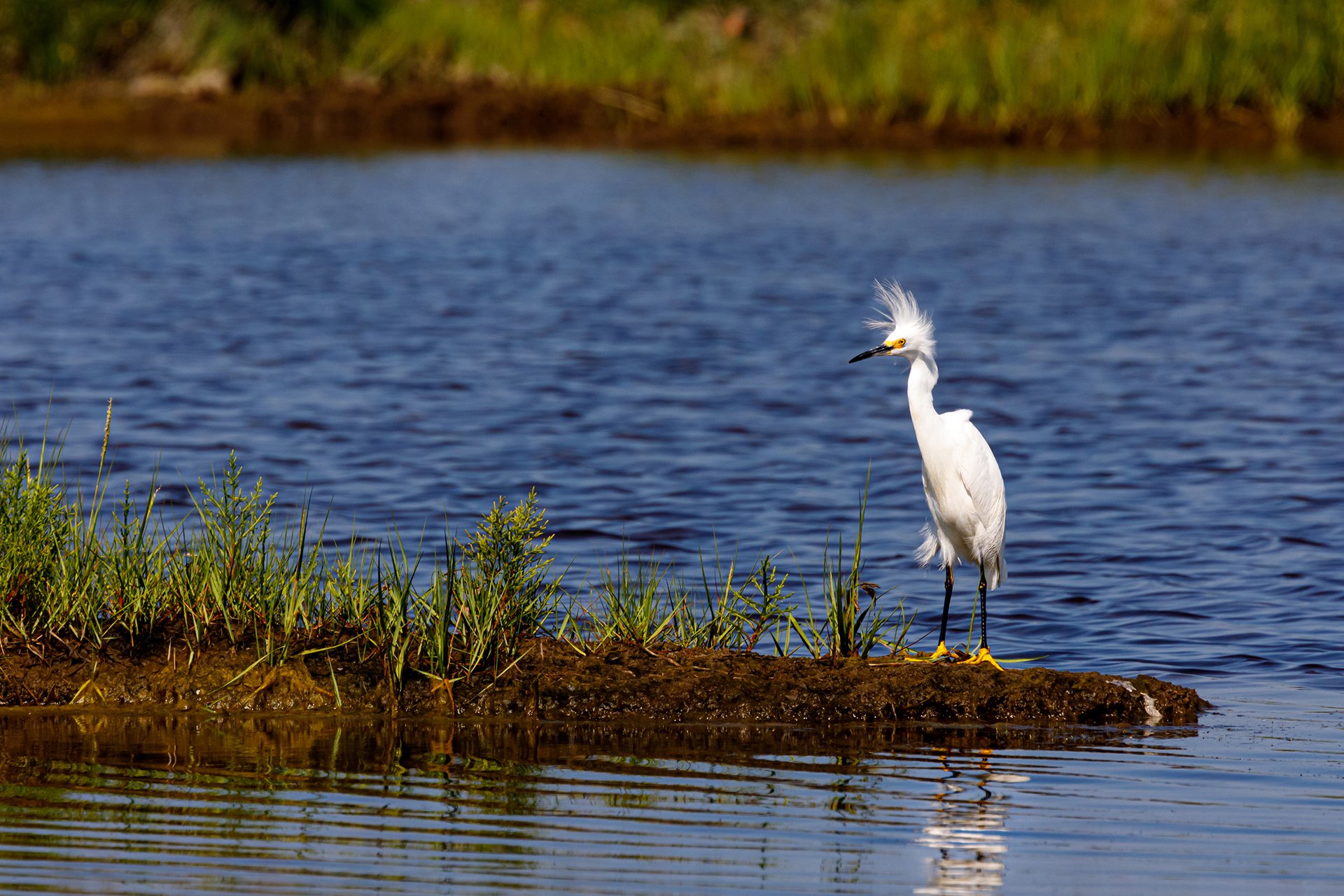
The information collected helps scientists advise local, state, and federal agencies on how to protect and restore these habitats. Salt marshes are important because they provide flood control and critical habitat for fish, migratory birds, and other wildlife.
Some of the activities the students and teachers have been a part of include:
- Monitoring the growth of common reed in salt marshes.
- Studying the effect of salinity (salt content) levels on the growth of salt marsh vegetation.
- Assessing tidal restrictions (where human actions have obstructed the natural flow of the tide).
- Sampling fish above and below tidal restrictions to determine the impact of these restrictions on fish.
Why should students participate in the project?
The success of the project depends on student help. The more information we collect, the more we learn about this critically important habitat. By participating in this project, students:
- Discover the fascinating world of salt marshes.
- Explore the impact of tidal restrictions and invasive plants on salt marshes.
- Develop and enhance a sense of stewardship in their community.
- Collect important scientific data.
- Ensure the future of the project through long-term data collection, so that teachers and students can continue to return to the same sites year after year.
- Create a communication network with other students and local conservation commissions.
- Monitor areas where wetland restoration is taking place.
- Enhance their own educational experience according to the Massachusetts Curriculum Frameworks by incorporating science, math, technology, art, social studies, and community service.
Results & Data
Students in coastal Massachusetts, particularly on the North Shore, have been working with Mass Audubon's scientists to collect exciting data about salt marshes.
To Join the Project
Please call 978-462-9998 or email us.