

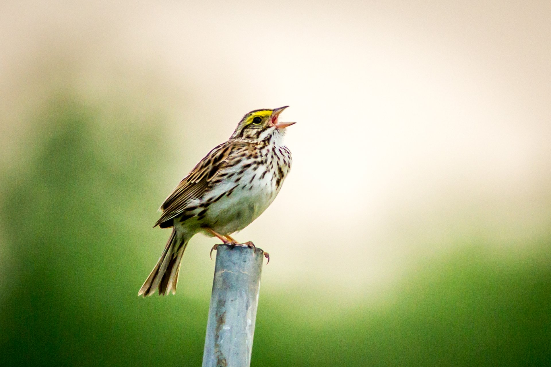
Savannah Sparrow at Arcadia © Phil Doyle
News
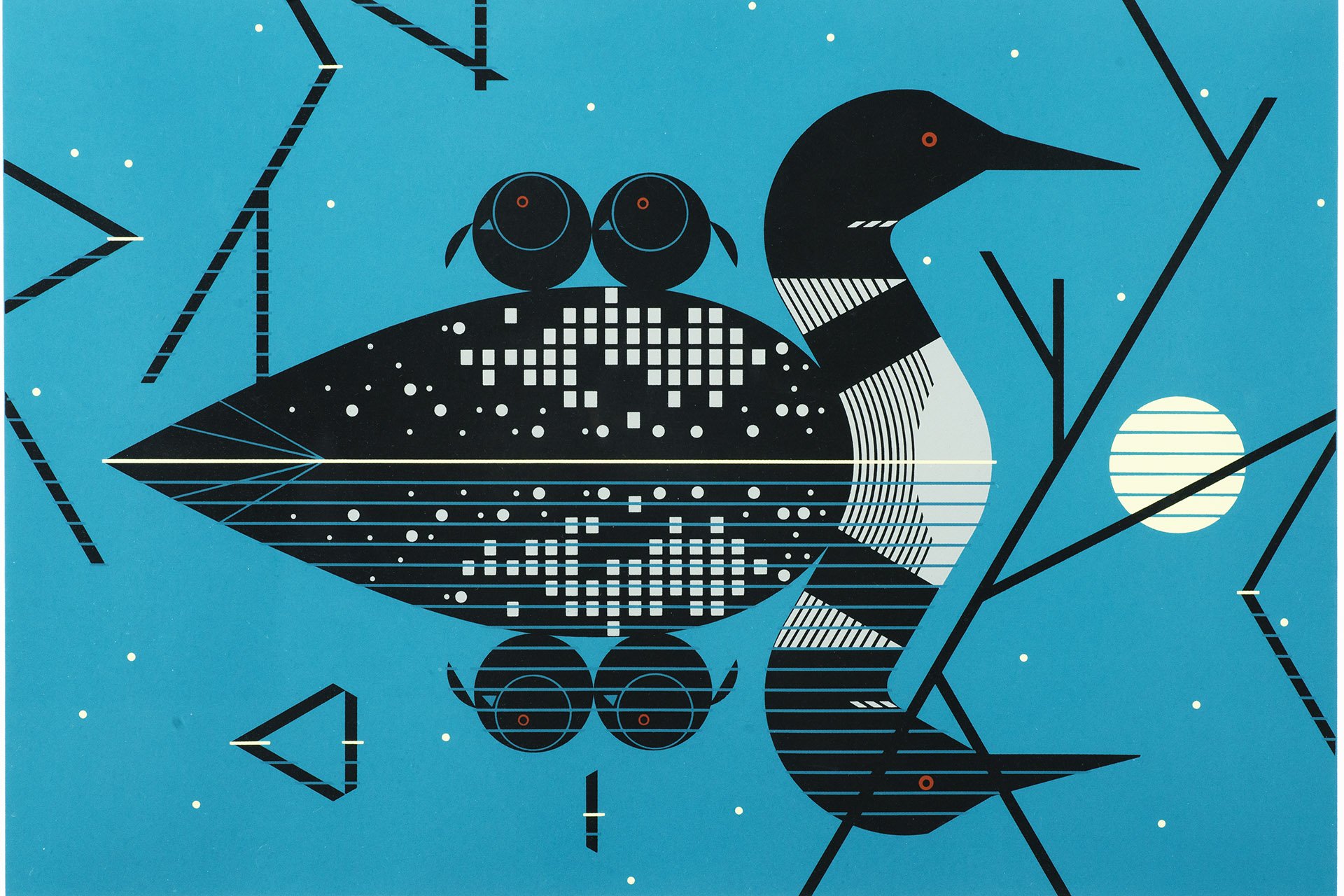
Loons by Charley Harper
MABA in the Wild: Mass Audubon’s Art Collection on View Across the State
Keep Reading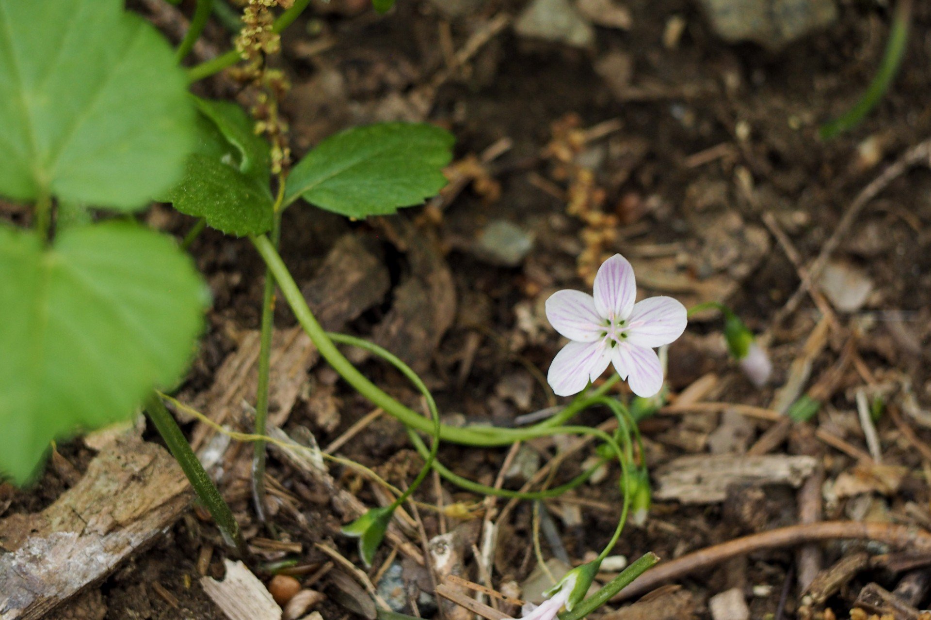
Carolina Spring Beauty
Spring's Fleeting Blooms
Keep Reading
Bird Your Way: Slowly, by Ear, in Place, and Beyond
Keep Reading
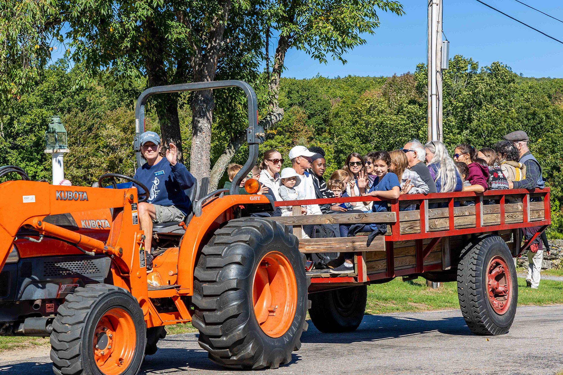
Milbury, MA © Eric Windover
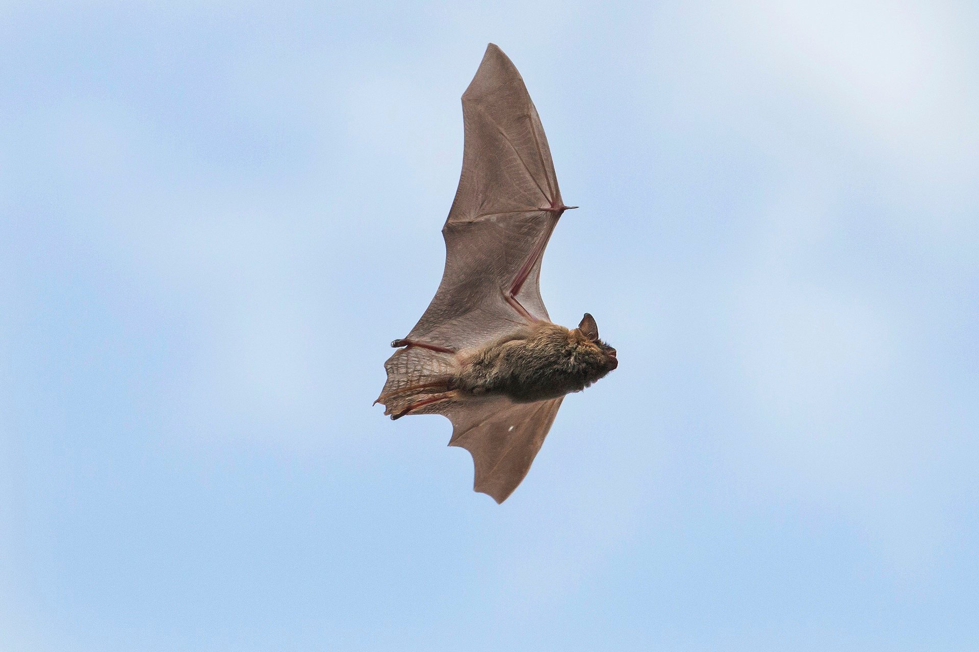
Answer the Bat Signal: Why Bats Deserve Your Appreciation
Keep Reading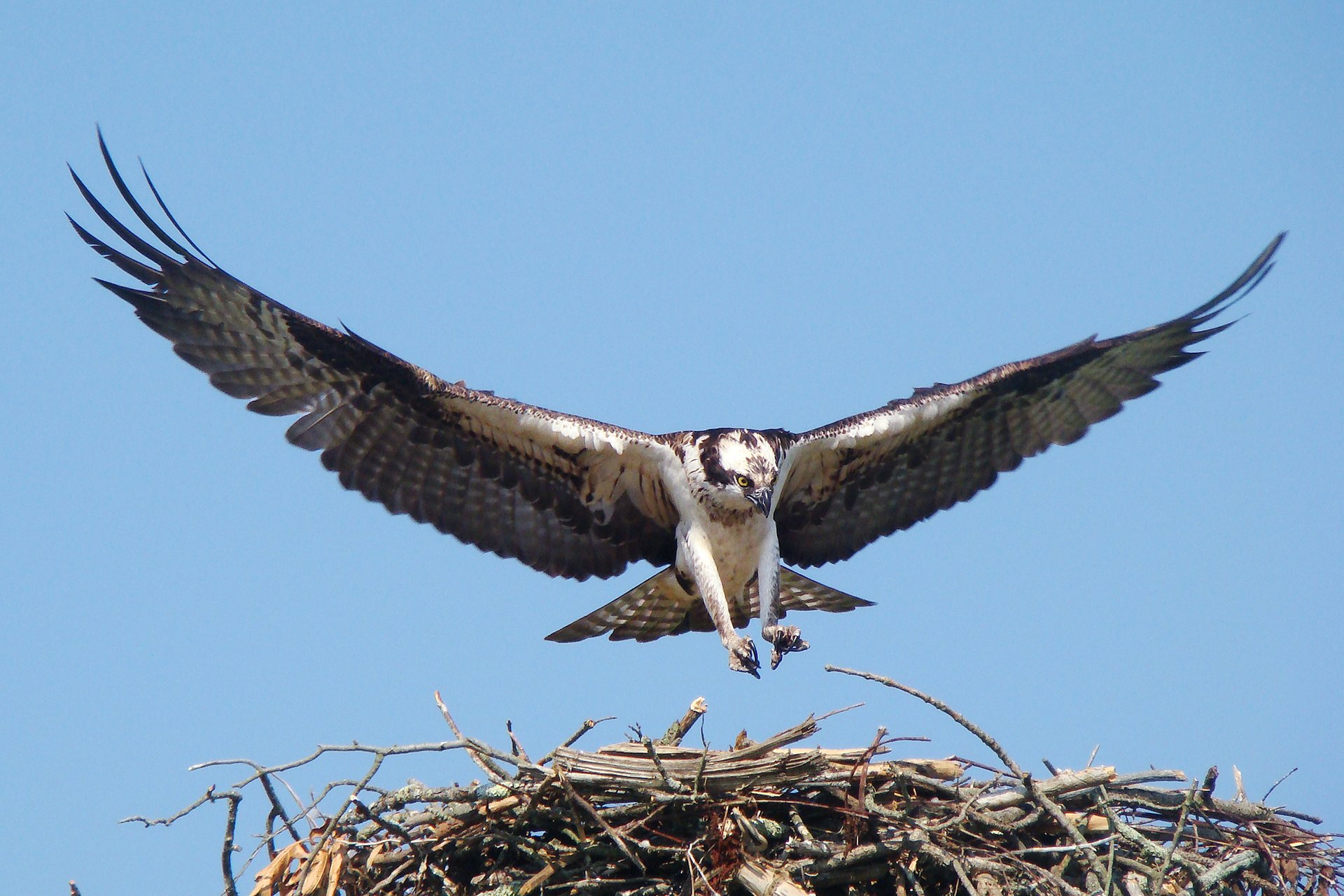
© David Ennis
Osprey Cam, Coming Soon to a Screen Near You from Felix Neck
Keep Reading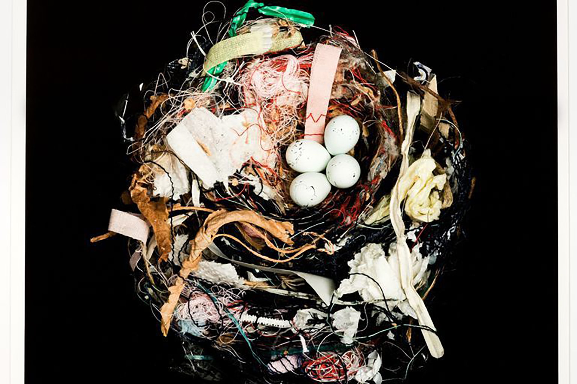
House Finch, Pimalo County (1965) by Sharon Beals. Photograph.
© J Jones
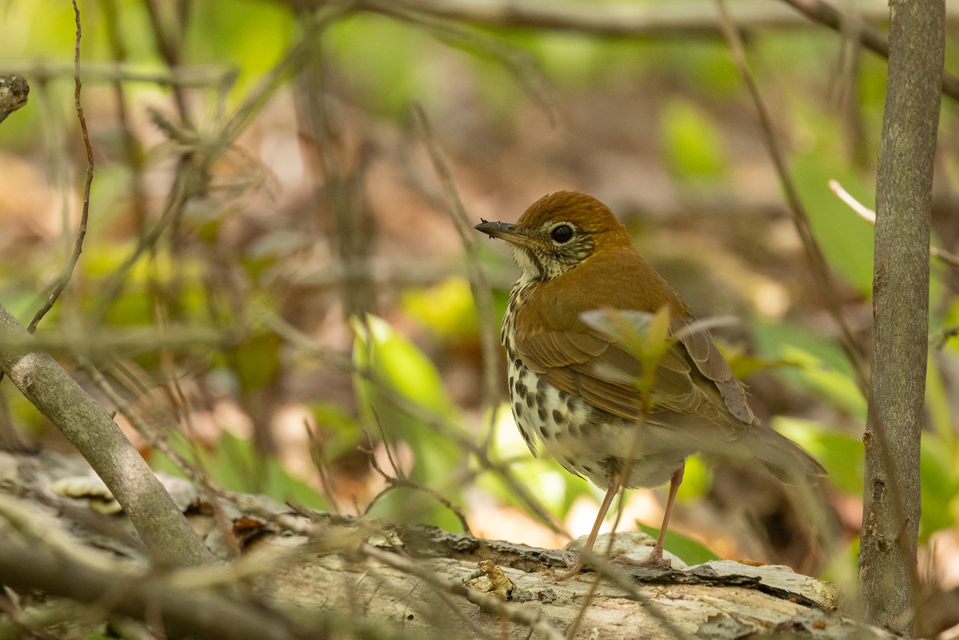
Wood Thrush
Unlocking the Secrets of Transnational Wood Thrush Migration
Keep ReadingShowing 1-9 of 525 results